Explore, Learn, and Have Fun at Hilink!
Uncover the wonders of the natural world with hiking, wildlife exploration, and arts and crafts. Tailored programs for all ages ensure an amazing, age-appropriate adventure.
198kExcellent Reviews
Location
Rinjani Mount
Distance
32 km
Elevation
3.726 m


Feeling Lost And Not Knowing The Way?
Starting from the anxiety of the climbers when visiting a new climbing location, the possibility of getting lost is very large. That's why we are here for those of you who want to start adventure

We are here for you
Guide You to Easy Path
Only with the hilink application you will no longer get lost and get lost again, because we already support offline maps when there is no internet connection in the field. Invite your friends, relatives and friends to have fun in the wilderness through the valley and reach the top of the mountain.
Destination
48 min
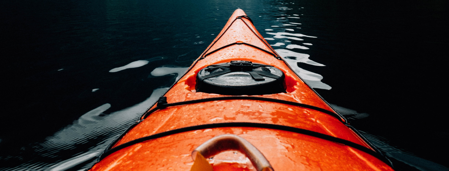
Mahakam River
Start track
Wanorojo, Pasuruan

Our Features

Real maps can be offline
We provide a solution for you to be able to use our application when climbing, yes offline maps you can use at any time there is no signal at the location

Set an adventure schedule
Schedule an adventure with friends. On holidays, there are many interesting offers from Hilink. That way, there's no more discussion

Technology using augment reality
Technology uses augmented reality as a guide to your hiking trail in the forest to the top of the mountain. Already supported by the latest technology without an internet connection

Many new locations every month
Lots of new locations every month, because we have a worldwide community of climbers who share their best experiences with climbing
Get for free now!
Available on iOS and Android